CR 817, Lee Road, and South Sweetwater Road Widening

Douglas County, GA ESA Phase I and Phase II

MC Squared (MC²) is supporting Lowe Engineers on a roadway widening improvement project along CR 817, Lee Road, and South Sweetwater Road in Douglas County, Georgia. The project aims to improve traffic flow and safety through expanded roadway capacity and infrastructure upgrades. Before design and construction can proceed, a thorough environmental assessment is required to identify and mitigate potential risks.

Our team was engaged to perform a Phase I Environmental Site Assessment (ESA), which involved reviewing historical land use records, regulatory databases, and conducting a site reconnaissance. 

During this assessment, we identified multiple underground storage tank (UST) sites in close proximity to the project limits, including two active tanks located directly adjacent to the planned alignment.

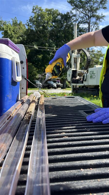
Due to these findings, the project advanced into Phase II ESA fieldwork. Our environmental professionals are conducting subsurface investigations, including soil and groundwater sampling, to evaluate potential contamination and determine whether further remediation or monitoring may be required. The data collected will support environmental compliance and inform planning decisions ahead of project development.

MC² is proud to deliver detailed, data-driven evaluations that support responsible infrastructure improvements. Our work on this project helps ensure safety, sustainability, and regulatory alignment for long-term development in Douglas County.

Utoy Creek WRC Influent Pump Station, Fulton County GA

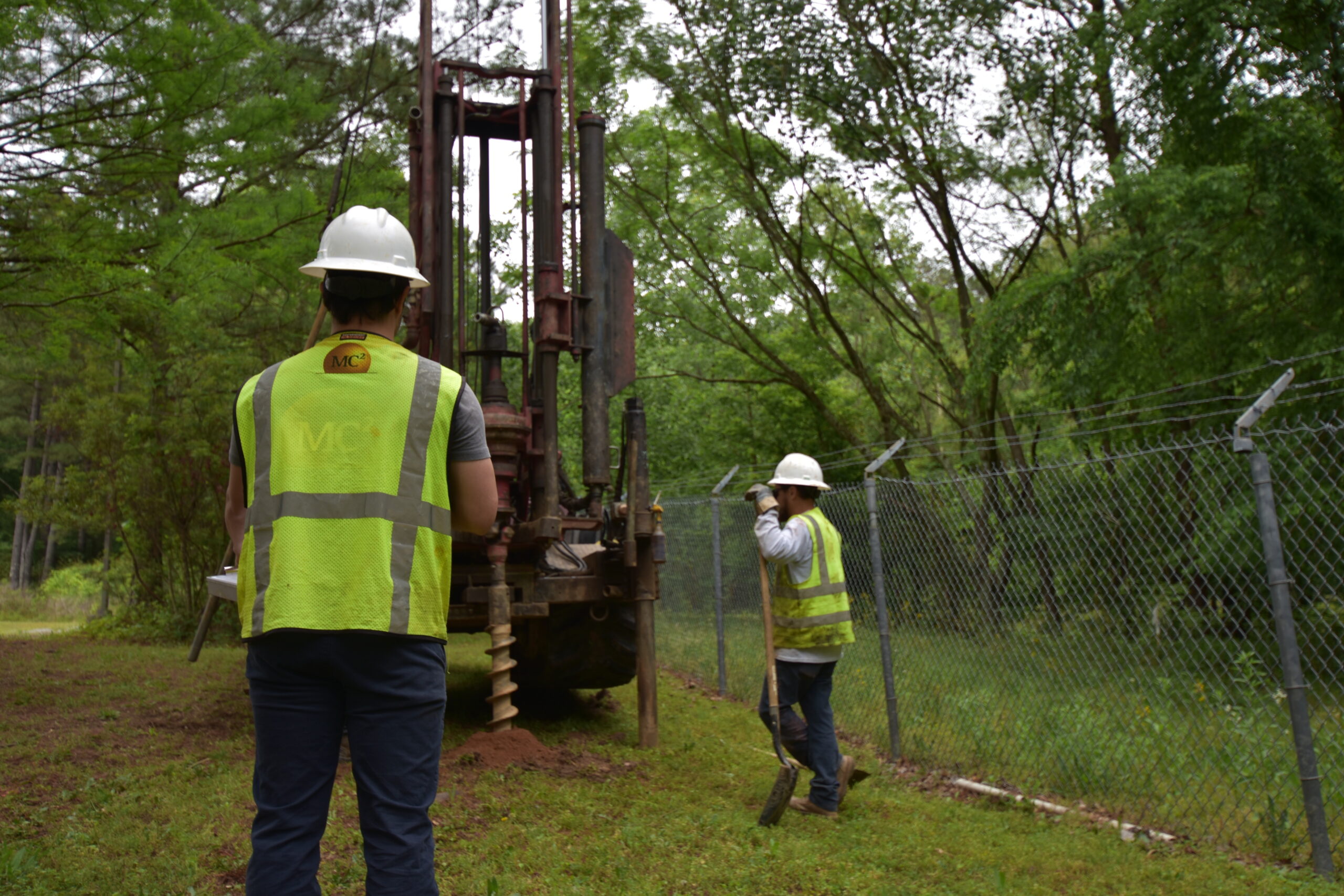
MC Squared collects soil samples at Utoy Creek RFC

MC Squared is supporting Wade Trim and Fulton County in upgrading the influent pump station at the Utoy Creek Water Reclamation Center. MC Squared provides geotechnical engineering services throughout the design and early construction phases. Our team conducted site investigations to evaluate subsurface conditions, including soil behavior and groundwater levels, which are vital for planning stable, long-lasting foundation systems. We also assist with stakeholder coordination and provide geotechnical insights to help guide demolition planning and phased construction activities.

Continue reading

Snapfinger and Pole Bridge Creek Wastewater Treatment Plant Interplant Storage and Convergence Phases I & II, DeKalb County, Georgia

The tunnel itself is proposed to be approximately 5 miles long, have a 27-foot diameter, and have a storage volume of 88 million gallons. Tunnel horizon is to be located between 150 and 200 feet below ground surface. Apart from the tunnel itself, 50 million gallon per day influent lift stations will be located on either end at each wastewater treatment plant. The primary purpose of the investigation was to gather information that will serve as input and recommendations for the preferred tunnel alignment. MC2 evaluated and analyzed available geotechnical and hydro geological data and prepared a plan for additional drilling and testing. MC2 performed extensive soil drilling and rock coring along the proposed tunnel alignment. Using multiple drilling methods and drilling equipment, borings ranged from approximately 48 feet below ground surface to 275 feet below ground surface. We analyzed and logged all core data: including rock type, mineralogy, fracture type and degree, degree of weathering, Rock Quality Designation and Recovery Percentage. Rock core data, soils testing, depth to rock, and the continuous monitoring of the groundwater table allowed us to produce a detailed geologic map showing different lithologies and their connections, zones of fractured and week rock, and groundwater flow patterns. Other field tests performed included down-hole pressure testing in bedrock, falling head permeability tests, and geophysical testing in fractured problem areas to supplement drilling data. Laboratory testing of soils and bedrock samples included, but is not limited to, soil particle size analyses and % passing the 200 sieve, Liquid Limit and Plastic limit of soils, elastic moduli of intact rock core specimens, Brazilian tensile strength of rock core specimens, point load and compressive strength of intact rock core specimens at varying states of stress and temperature.  Finally, our experienced professional engineers evaluated all the field and lab data collected and produced a geotechnical exploration report summarizing the methods used, and data collected along with recommendations for tunnel construction and alignment.

South Fulton Library-Fulton County, Georgia

Provided geotechnical engineering services for a future Library to be built in South Fulton County GA.  The library consisted of the Renovation and Expansion of the building and the parking lot that adds 10,000 SF to the existing 15,000 sf structure for a total renovation and expansion of 25,000 SF for this branch library.