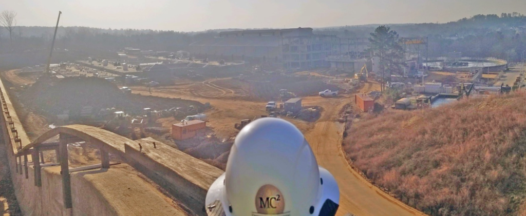
Tunnels

Tunnel
The tunnel itself is proposed to be approximately 5 miles long, have a 27-foot diameter, and have a storage volume of 88 million gallons. Tunnel horizon is to be located between 150 and 200 feet below ground surface. Apart from the tunnel itself, 50 million gallon per day influent lift stations will be located on either end at each wastewater treatment plant. The primary purpose of the investigation was to gather information that will serve as input and recommendations for the preferred tunnel alignment. MC2 evaluated and analyzed available geotechnical and hydro geological data and prepared a plan for additional drilling and testing. MC2 performed extensive soil drilling and rock coring along the proposed tunnel alignment. Using multiple drilling methods and drilling equipment, borings ranged from approximately 48 feet below ground surface to 275 feet below ground surface. We analyzed and logged all core data: including rock type, mineralogy, fracture type and degree, degree of weathering, Rock Quality Designation and Recovery Percentage. Rock core data, soils testing, depth to rock, and the continuous monitoring of the groundwater table allowed us to produce a detailed geologic map showing different lithologies and their connections, zones of fractured and week rock, and groundwater flow patterns. Other field tests performed included down-hole pressure testing in bedrock, falling head permeability tests, and geophysical testing in fractured problem areas to supplement drilling data. Laboratory testing of soils and bedrock samples included, but is not limited to, soil particle size analyses and % passing the 200 sieve, Liquid Limit and Plastic limit of soils, elastic moduli of intact rock core specimens, Brazilian tensile strength of rock core specimens, point load and compressive strength of intact rock core specimens at varying states of stress and temperature.  Finally, our experienced professional engineers evaluated all the field and lab data collected and produced a geotechnical exploration report summarizing the methods used, and data collected along with recommendations for tunnel construction and alignment.
Performed a limited Phase I along the project corridor to evaluate potential contamination that could affect the development of the project which included 7000 LF of stormwater tunnel thru a residential neighborhood. Also provided a baseline geotechnical report and laboratory testing to support the future design. The project was intended to alleviate flooding in the South Tampa area of Hillsborough County.
Provided subsurface investigations and associated recommendations for a proposed 48-inch waterline from the David L. Tippin Treatment Plant to South Tampa, a distance of approximately 65,000 LF. The project included horizontal directional drilling and tunneling under the Hillsborough River as well as numerous deep tunnel crossings under major roadways along the project alignment.